
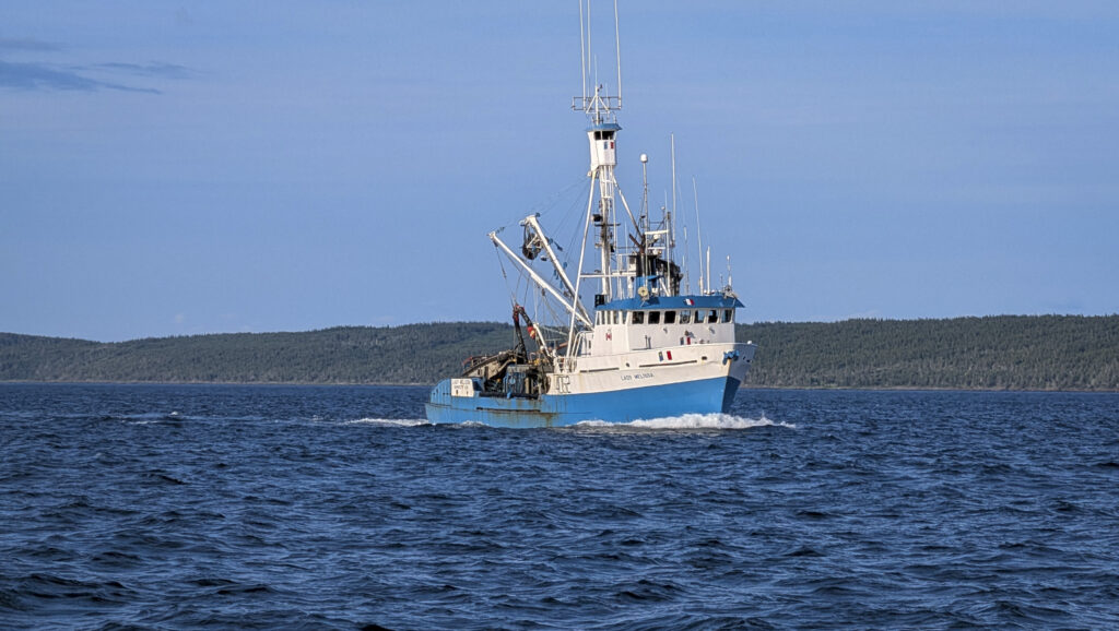
The fishing boat Lady Melissa
The fishing boat Lady Melissa
A time-compressed drone-powered aerial view of cars and trucks gathering at a local meetup
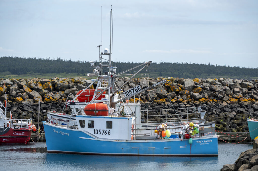
The lobster fishing boat Ray’s Legacy in Westport, Brier Island
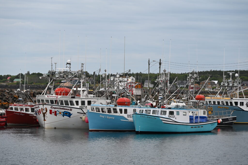
From left to right, the fishing boats Grampy Roger, Expectations III, Ray’s Legacy, Chad & Sisters Two, and Roy’s Boy, in Westport, Brier Island.
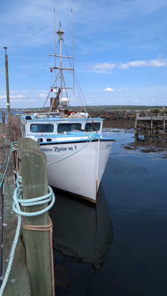
The lobster fishing boat Rebecca Louise No. 1 in Westport, Brier Island
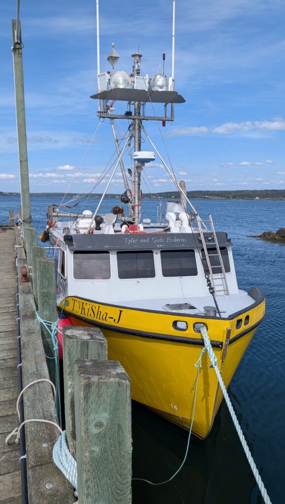
The fishing boat Tykisha-J in Westport, Brier Island
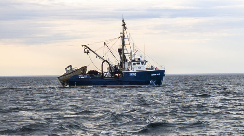
The fishing boat Morning Star fishing in the Bay of Fundy
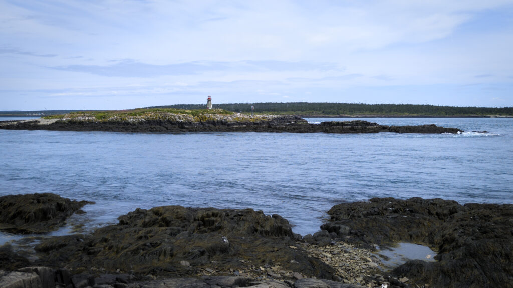
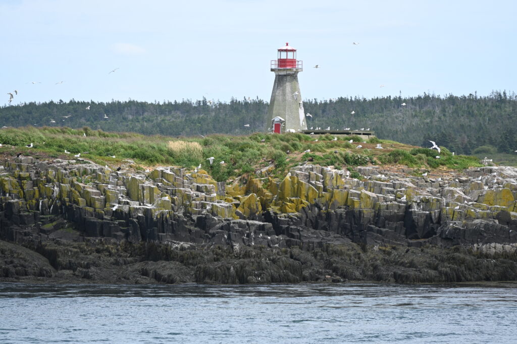
The uninhabited Peter Island marks the southern entrance to Sweetcake Cove on Brier Island, and Grand Passage between Brier Island and Long Island. It is famous for its octagonal red and white wooden lighthouse, built in 1909 and designated a Heritage Lighthouse in 2021. The island serves as a bird sanctuary owned by the Nova Scotia Bird Society.
The Peter Island Lighthouse is a tapered, wooden, octagonal tower standing 13.4 metres (43.9 feet) in height. Constructed in 1909, it is the 2nd generation lighthouse on the site. The original lightstation was established in 1850.
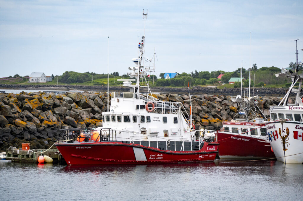
CCGS Westport is a Canadian Coast Guard search and rescue vessel homeported in Westport, Nova Scotia. CCGS Westport is one of ten Arun-class lifeboats operated by the Canadian Coast Guard.
Westport is staffed by a crew of four.
Waiting for the ferry Margarets Justice to take us from Brier Island to Long Island