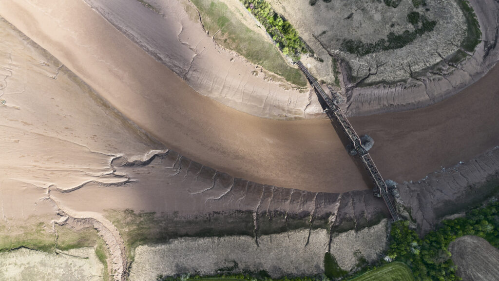
Gaspereau River Train Bridge
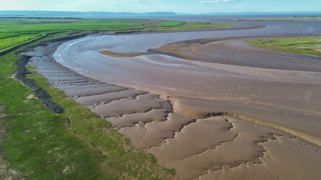
The Gaspereau River stretches about 24 km, flowing from Gaspereau Lake on South Mountain, just south of Kentville, to its mouth at Hortonville on the Minas Basin. The lower 6.5 km is tidal up to Melanson, with wide tidal marshes along its lower stretches. The upper 16 km moves quickly over gravel beds, boulders, and bedrock, except for a few dammed spots that create narrow, deep channels.
Damming for hydroelectric power has linked twelve major lakes to the river, forming a watershed of 1,375 square kilometres. One key tributary is the Black River, which meets the Gaspereau at White Rock. The Black River once flowed farther north into the Cornwallis River but was redirected to the Gaspereau through a natural erosion process called river capture.