
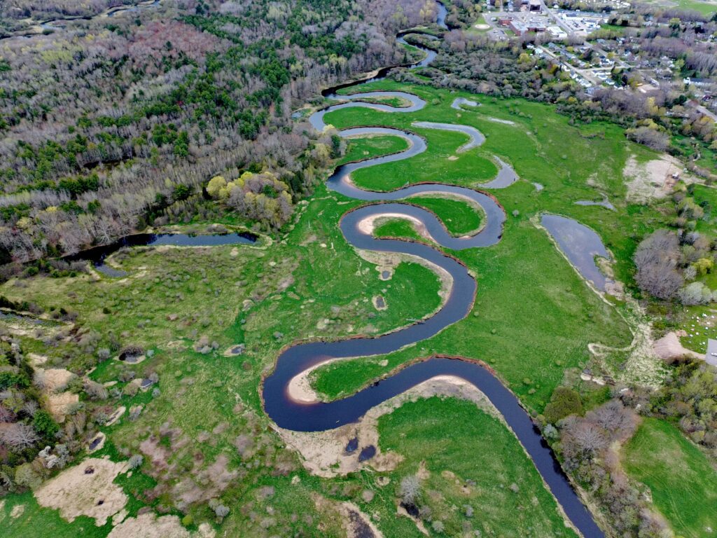
A drone-powered aerial view of the Annapolis River, in Middleton, Nova Scotia
The Annapolis River is one of western Nova Scotia’s major rivers, stretching about 120 kilometres from Caribou Bog to the Annapolis Basin.
Its estuary is strongly influenced by the tides of the nearby Bay of Fundy, which is famous for having some of the highest tides in the world. A tidal range of about 7.5 meters means the water level in the estuary can rise and fall by the height of a two-story building between low and high tide.
Canadians generally follow British English conventions, so “kilometre” is the standard spelling in Canadian English, especially in formal writing, road signs, and official publications. The American spelling “kilometer” is recognized and sometimes appears in informal contexts or online content, but it is less common than “kilometre” in Canada.