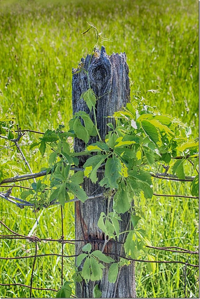
Fields and fences – Cumberland, Ontario
Fields and fences – Cumberland, Ontario
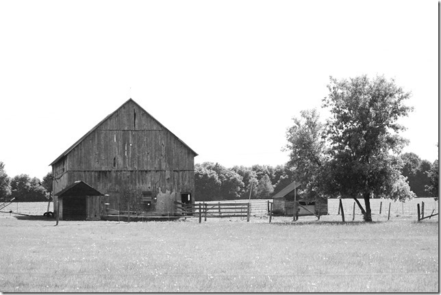
One of the barns of Ontario
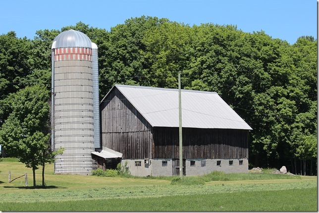
One of the barns of Ontario
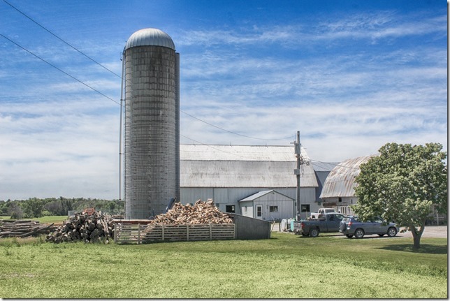
One of the barns of Ontario
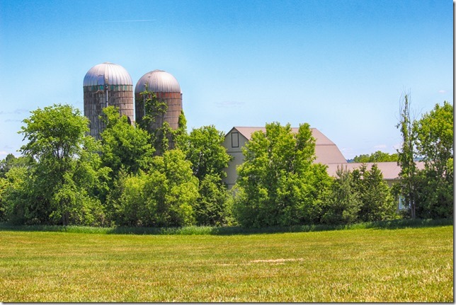
One of the barns of Ontario
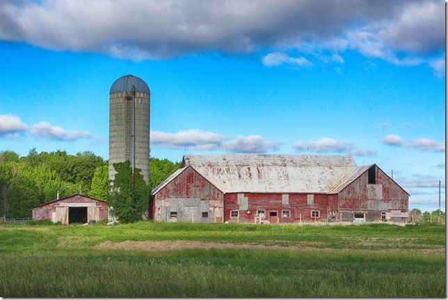
One of the barns of Ontario
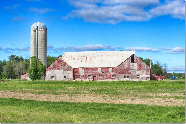
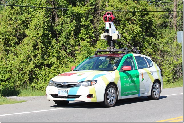
Google Street View is a technology featured in Google Maps and Google Earth that provides panoramic along streets. It was launched in 2007 in several cities in the United States, and has since expanded to include cities and rural areas – including this section of Ontario that I was in.
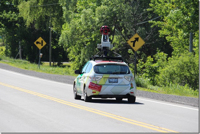
Most photography is done by car, such as the that one I saw.
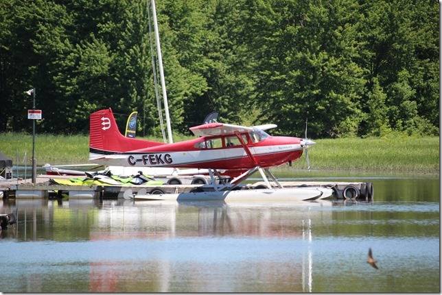
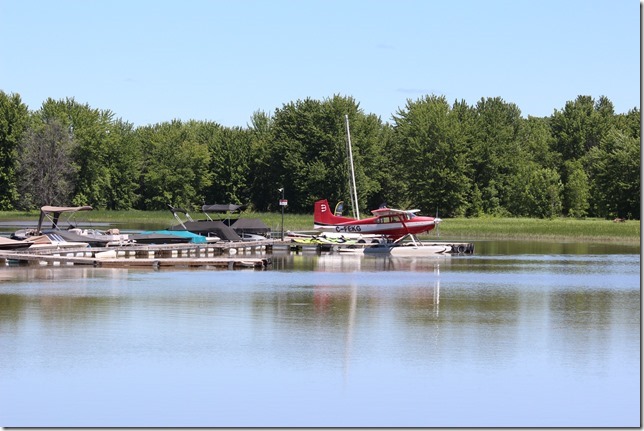
C-FEKG, a 1972 Cessna A185E at the Petrie Island marina
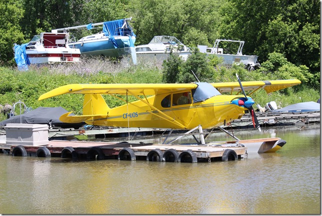
C-FUOS, a 1946 Piper PA-12S at the Petrie Island marina
Petrie Island is an island in the Ottawa River, at the eastern edge of Ottawa. The island has several nearby islands and the general collection of islands called Petrie Islands.
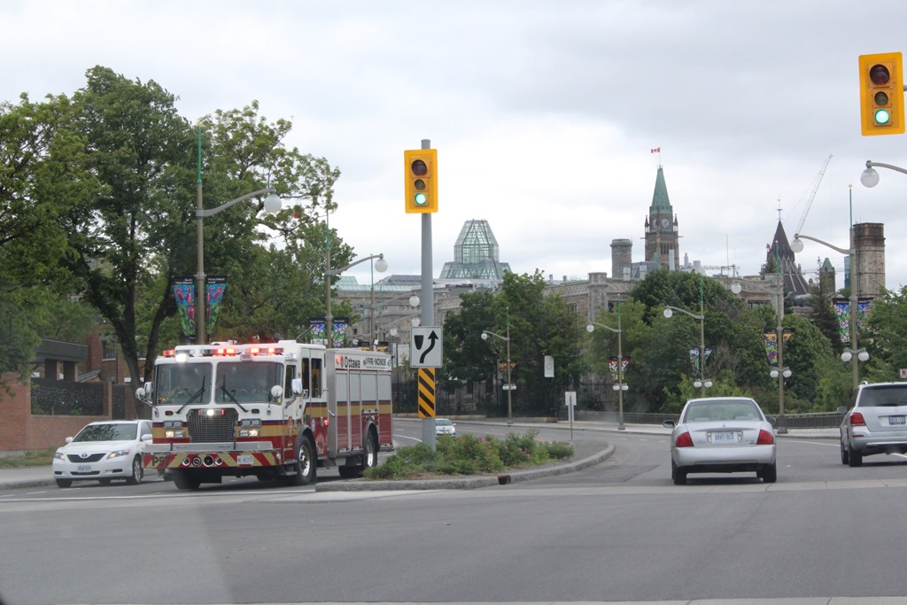
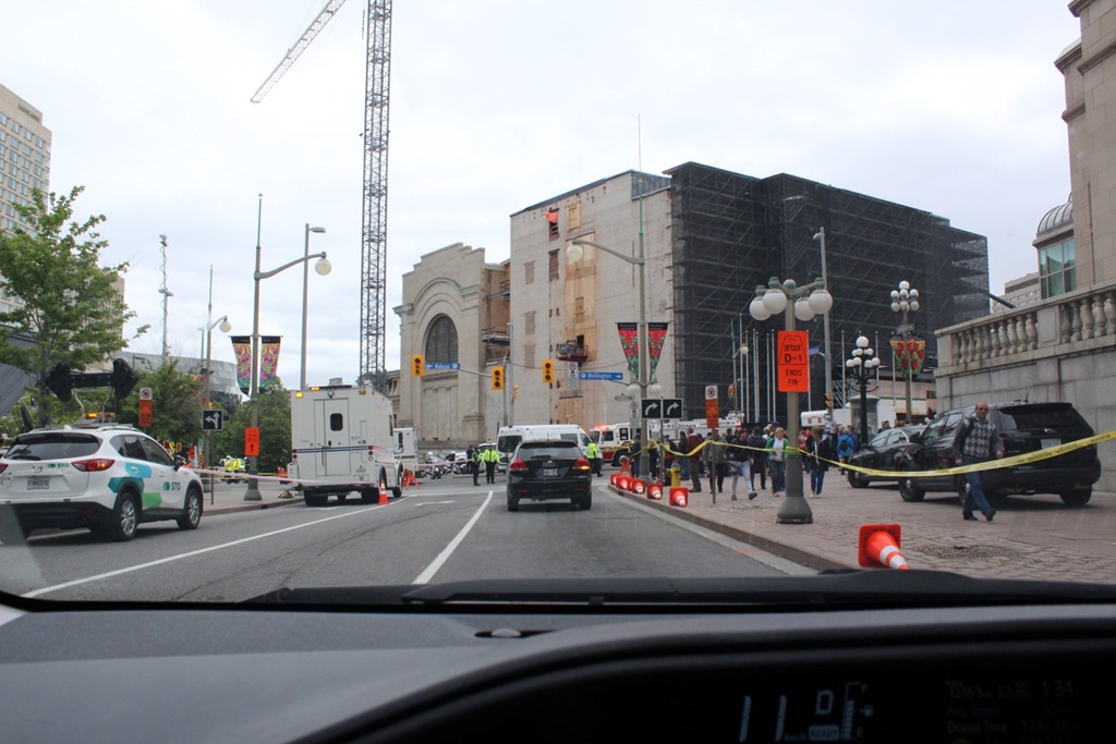
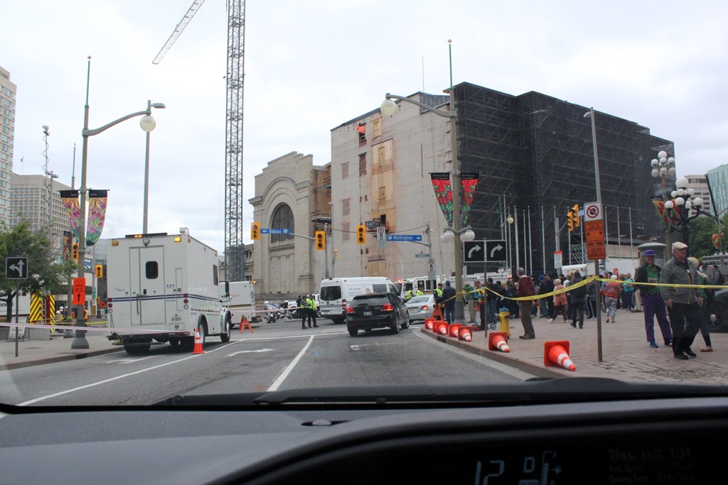
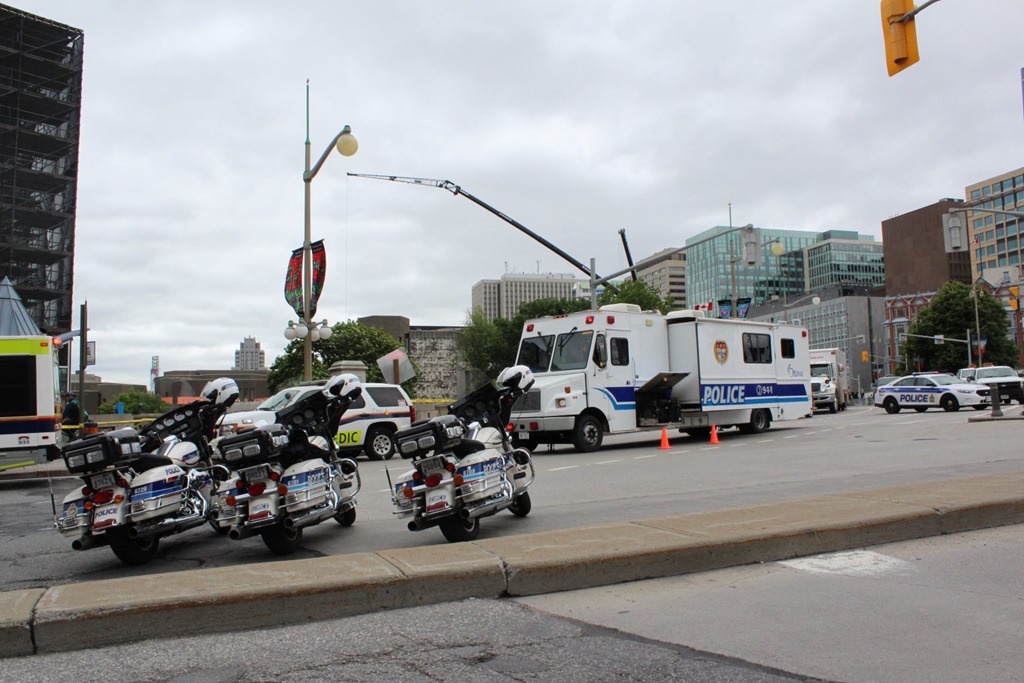
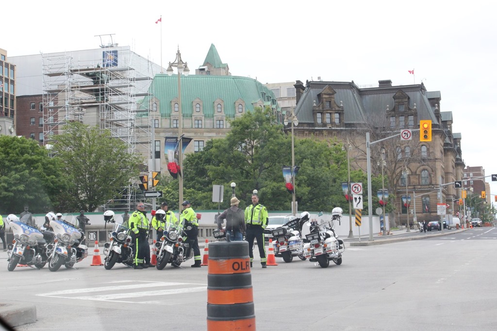
I always have a camera with me as you never know when you’ll be driving past a huge sink hole in the center of downtown Ottawa.