
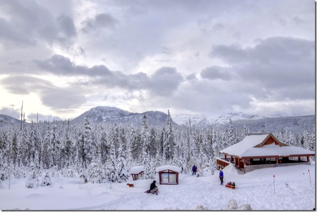
Paradise Meadow trailhead at Strathcona Provincial Park
Paradise Meadow trailhead at Strathcona Provincial Park
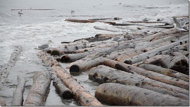
Gulls enjoying the waves and driftwood at Air Force Beach on north end of Kay Bay
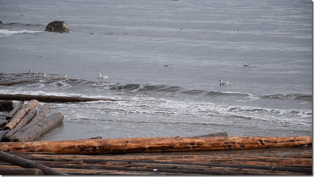
Gulls floating on the waves, in formation at Kye Bay
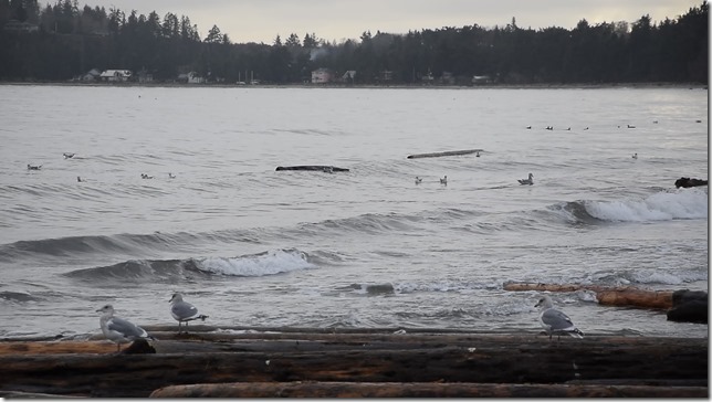
Gulls enjoying the waves and driftwood in Kye Bay
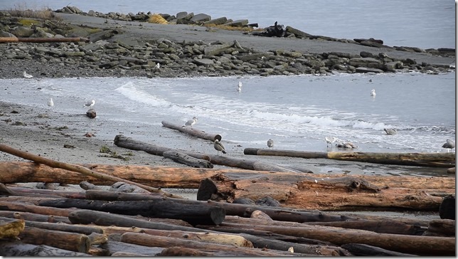
Gulls at Kay Bay enjoying morsels washed up by an early December storm
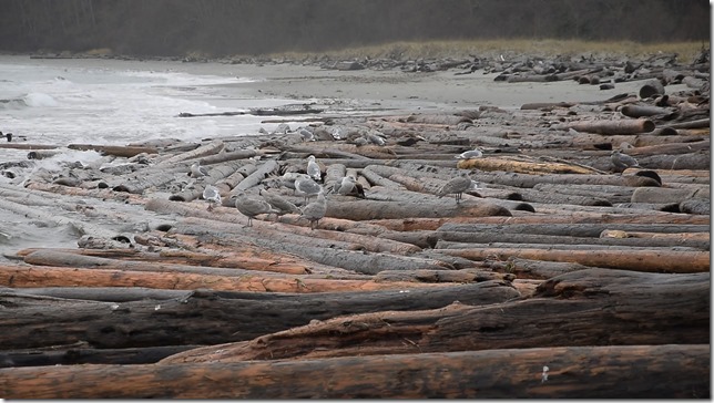
Gulls taking advantage of storm driven driftwood – Kay Bay
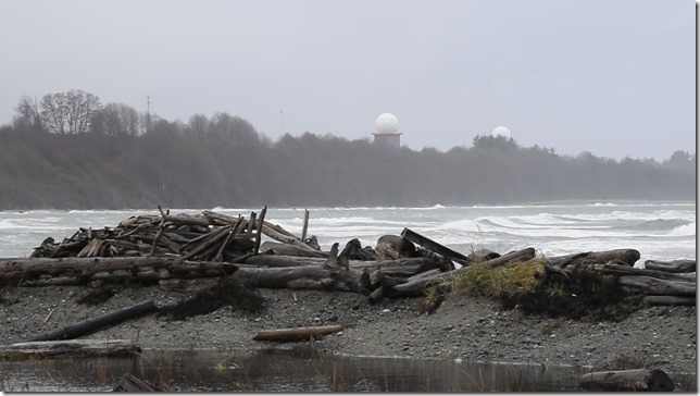
Waves at Kye Bay – adjacent to CFB Comox
Surface ocean waves are produced by winds. The height of the waves depends upon wind speed, the length of time the wind blows (duration) and the distance over which the wind blows (fetch).
In 1952, Charles Bretschneider created a diagram that describes the relationship between these parameters and provides an easy way to predict the height of a wave produced by specific wind conditions.

The y-axis describes Wind Speed; the x-axis describes Fetch Length; solid curved lines in the middle of the diagram show the Wave Height in feet – handy stuff if you want to figure out how large the waves are likely to be during a storm.
And here’s the waves that formed on Georgia Strait between Texada Island and Kye Bay, a short distance, with 60 knot winds…
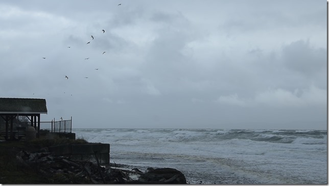
Point Holmes – birds swooping about on a stormy day
And just to have some fun, I sped this version up – I think it gives the birds a rather creepy sort of look?

The swings at the empty playground – Kye Bay on a stormy day
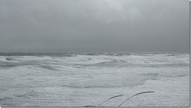
A stormy day at Point Holmes