Quadra Queen II

Quadra Queen II ,BC Ferries,Northern Gulf Islands

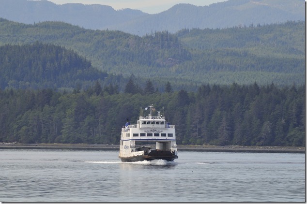
Quadra Queen II in Port McNeill

Quadra Queen II was built for and operated by the BC Ministry of Transportation and Highways until 06 October 6 1986  when the Ministry’s ferries and routes were transferred to BC Ferries.

  • Built: 1969, Allied Shipbuilders Ltd. Vancouver
  • Overall Length: 49.61 m
  • Breadth: 14.63 m
  • Depth: 4.44 m
  • Gross Tons: 936.20
  • Net Tonnage: 600.04
  • Crew: 7
  • Passenger Capacity: 293
  • Vehicle Capacity: 30
  • Propulsion: 2 x 850 HP diesel, twin screw
  • Speed: 12.5 knots

The Quadra Queen II operates on northern Vancouver Island between Port McNeill (Vancouver Island), Alert Bay (Cormorant Island), and Sointula (Malcolm Island).
Posted in North Island, Northern Gulf Islands, ocean, ships | Tagged , , | Leave a comment

BC Ferries Bear Cove

Besides being BC Ferries northernmost terminal on Vancouver Island, Bear Cove is also the northern end of Highway 19 – the longest highway on the Island.

BC Ferries,Bear Cove,North Island,Highway 19

Posted in North Island, tourism | Tagged , , , | Leave a comment

Port Hardy

I stopped at Port Hardy for two reasons – one being to visit the BC Ferries terminal in Bear Cove, and the other just so I could say that I have been to Port Hardy and the end of the paved road.

Port Hardy,North Island,Highway 19,Carrot Campaign Historic Site

Okay – four reasons, one being that I was taking a test run up to Holberg and Cape Scott, and one being to see the Carrot Campaign Historic Site

Port Hardy,North Island,Highway 19,Carrot Campaign Historic Site

The Carrot Campaign monument in Port Hardy marks the conclusion of the long struggle to connect the northern communities to the rest of Vancouver Island by way of the Island Highway.

Port Hardy,North Island,Highway 19,Carrot Campaign Historic Site

_DSC4712_1847

Port Hardy offers a lot of amazing scenery, both natural and man made.

_DSC4710_1846

The next time I’m in the area I’ll take the time to give this North Island community a better look – I suspect it will be well worth it.

_DSC4714_1849

Posted in North Island, tourism | Tagged , , , | Leave a comment

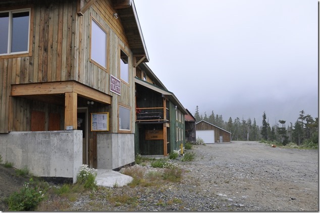
Mt Cain – summer

Mt Cain is one of the gems hidden away at the north end of Vancouver Island – many Island residents have never heard of it, which is a shame, as it’s one of four ski areas on Vancouver Island.

Well, sort of, as Forbidden Plateau has long been shut, Arrowsmith Ski hill on Mount Cokely has long been shut, leaving Mt Washington as the only other active ski area.

Mt Cain,North Island,Highway 19,mountains,logging road

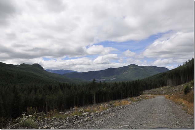
It’s a bit of a chore to get to Mt Cain as it’s 75 km NW of Sayward, so about an 1:15 hour drive from Campbell River, and then you have to make a 16 kilometer drive on a gravel road that in the summer pretty much requires a four wheel drive vehicle and 30 minutes of your time.

Mt Cain,North Island,Highway 19,mountains,logging road

It’s worth the drive…

Posted in forest, logging road, mountains, nature, North Island, summer, tourism, Vancouver Island, Vancouver Island Images | Tagged , , , , | Leave a comment

Transformation on the Shore

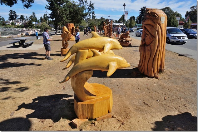
In case you missed it or were too far away, I visited Frank James Park in Campbell River to view the Shoreline Arts Society’s annual “Transformation on the Shore” chainsaw carving contest.

Campbell River,wood carving,events,Transformation on the Shore

The carvings are interesting – some whimsical, some more traditional, and all are well done.

Posted in art, tourism | Tagged , , , | Leave a comment

At anchor – Goose Spit

Goose Spit,sailing,ships,Comox

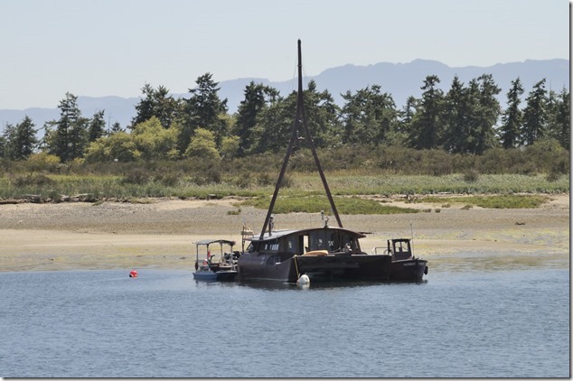
Goose Spit – a sheltered and beautiful anchorage

Posted in Beach, ships | Tagged , , , | Leave a comment

Royston Wrecks – from the sea

Royston Wrecks,Strathcona Provincial Park,Comox Glacier

I just happened to have a camera with me while transiting from Comox to Denman Island aboard an Orca Class Patrol Craft Training, and we just happened to pass by the Royston Wrecks…

Royston Wrecks,Strathcona Provincial Park,Comox Glacier

_DSC2125_1811

_DSC2126_1812

_DSC2127_1813

Posted in history, ocean, Royston, ships | Tagged , , | Leave a comment

Across the Strait

Georgia Strait,Texada,Gulf Islands,Sunshine Coast,Powell River

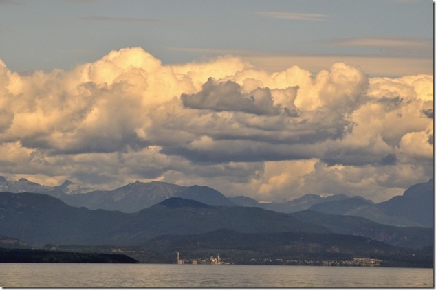
Looking across Georgia Strait toward Texada Island

Texada is big, it’s the largest of the Northern Gulf Islands, and it’s home to a very large limestone quarry that is visible on it’s western side from across Georgia Strait.

Georgia Strait,Texada,Gulf Islands,Sunshine Coast,Powell River

Looking across Georgia Strait toward Powell River

Looking across Georgia Strait, the view of Powell River is dominated by the towers at the Catalyst mill.

Posted in Georgia Strait, Gulf Islands, nature, ocean, Powell River, Sunshine Coast, tourism | Tagged , , , , | Leave a comment

Highway 19 – North Island

Woss,Sayward,North Island,Highway 19,North Island

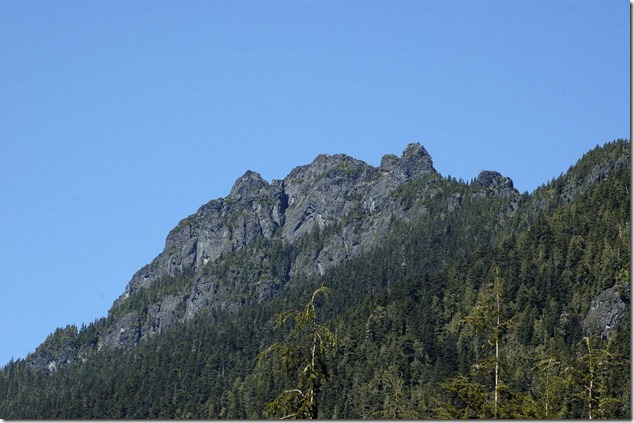
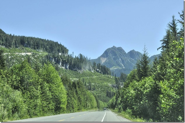
Besides being the longest highway on Vancouver Island, Highway 19 passes through some beautiful areas, my favorite being north of Campbell River, between Sayward and Woss, and along Nimpkish Lake.

Woss,Sayward,North Island,Highway 19,North Island

Posted in mountains, nature, North Island, Vancouver Island | Tagged , , , | Leave a comment

Woss –

Kobelco excavator,Woss,Western Forest Products,North Island,logging,Englewood Forest Operation

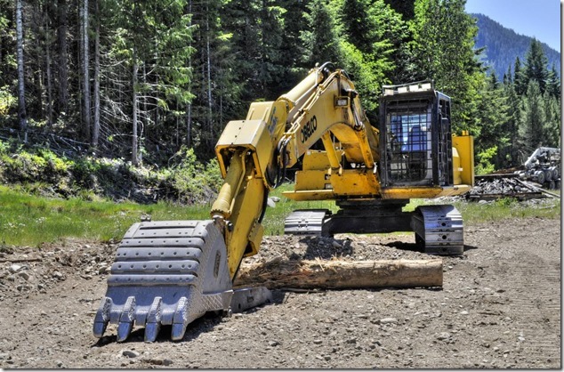
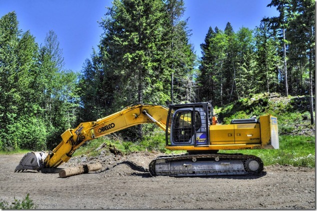
A Kobelco excavator at the Western Forest Products Englewood Forest Operation in Woss

Kobelco excavator,Woss,Western Forest Products,North Island,logging,Englewood Forest Operation

Posted in logging, North Island, Vancouver Island | Tagged , , , , , | Leave a comment