
A bit of a mystery as I can’t find out any information about the memorial to Jennifer at the top of Mount Washington.
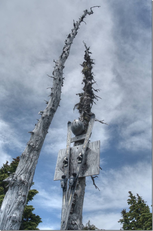
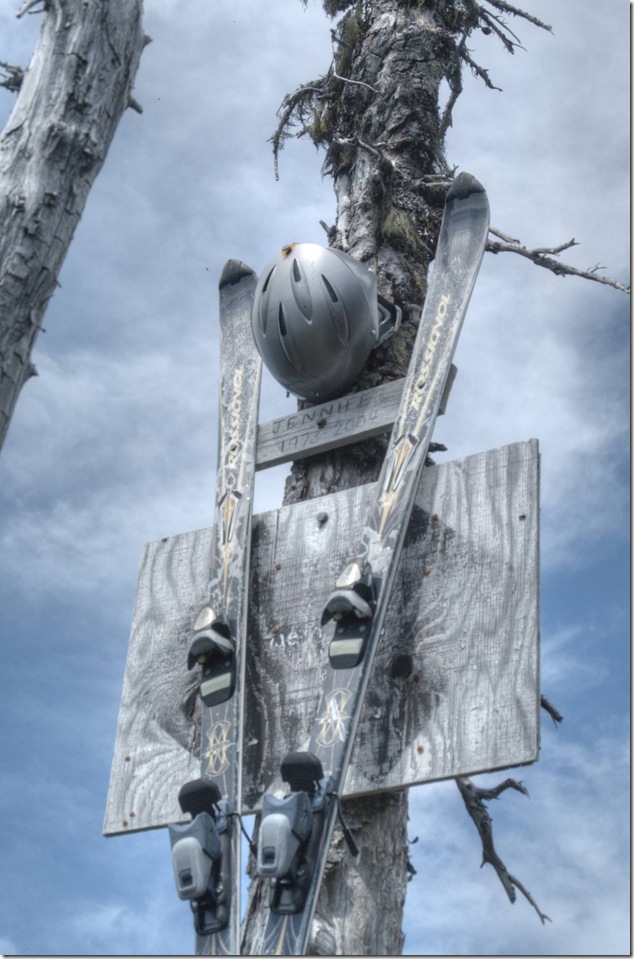
1973-2004, Jennifer
A bit of a mystery as I can’t find out any information about the memorial to Jennifer at the top of Mount Washington.
1973-2004, Jennifer
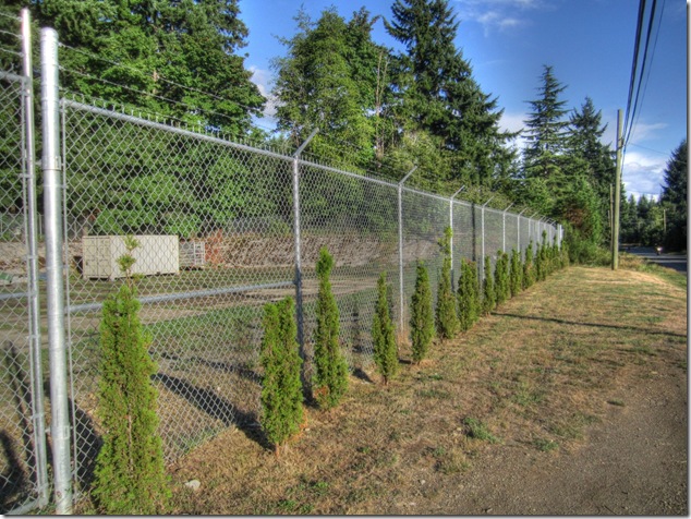
I decided to do a bit of research after driving by this location on Powerhouse Road and wondering if was at one time a water reservoir.
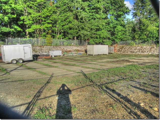
It was an above ground, open reservoir that held 500,000 gallons of water. The City use to stock it with trout to keep it free of bugs etc, and it was considered to be a great fishing hole. It’s since been decommissioned and replaced by a tower type water reservoir.
Now then – where did the water come from?
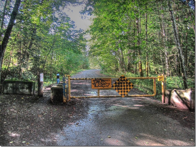
If you head down to the end of Powerline Road you’ll come to a gate, beyond which you’ll find one of the access roads to BC Hydro’s Puntledge Generation Station, and the power lines that the station feed.
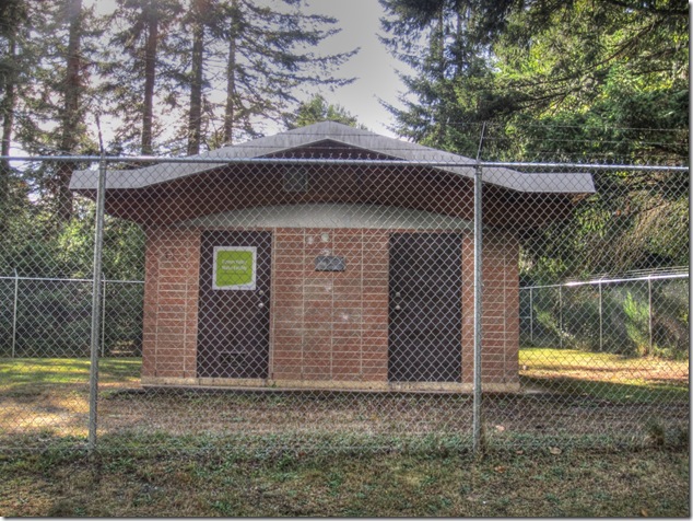
You’ll also find this little building that was built in 1967 when the City of Courtenay took over operation of the water system that used a 12” concrete pipeline to distribute water from the Browns River.
The pipeline used to cross Morrison Creek, and empty into the reservoir
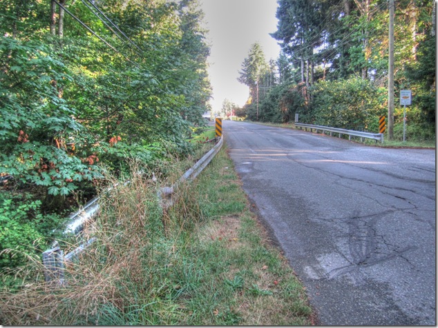
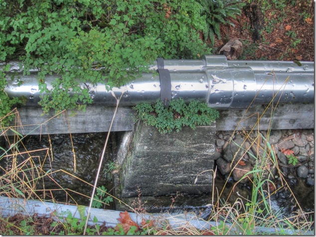
The old concrete pipeline is gone, but you can still see the concrete supports for it and newer water lines on it. One line feeds the residential area, and one did go to a storage tank at the same location as the above ground reservoir.
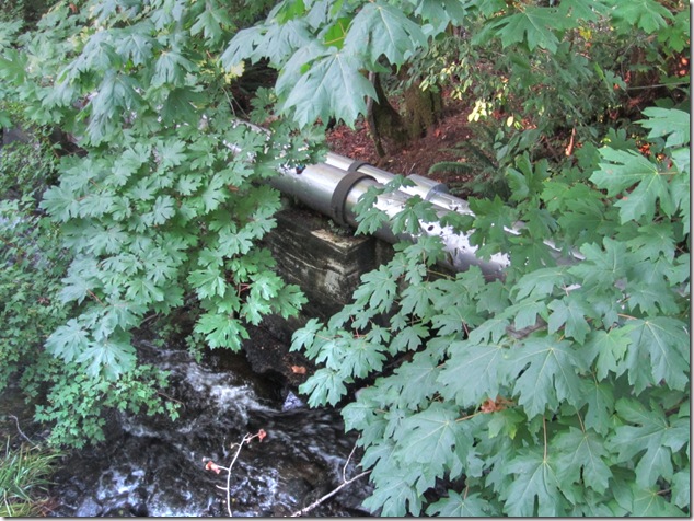
and now you know…
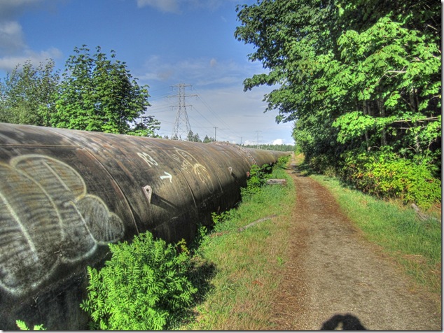
Artistry on the Puntledge Generation Station penstock pipeline
[fbalbum url=”https://www.facebook.com/media/set/?set=a.266689270121458.1073742037.123247217798998&type=3″ size=”187″]
Images are also in a standalone album…
A bit more of the history of the Browns River, and the Courtenay water supply…
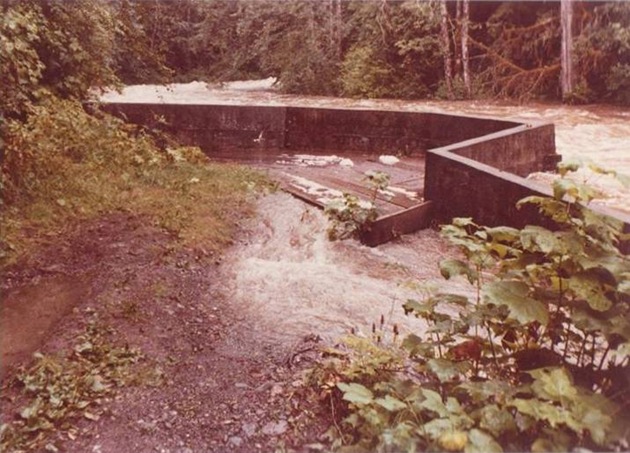
Water supply intake on the Browns
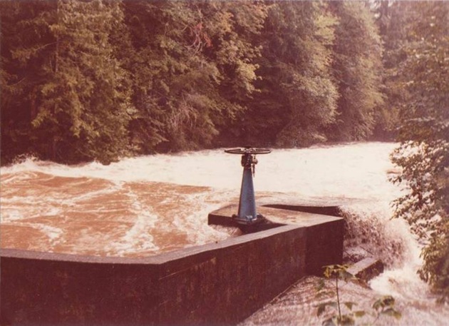
The fish bypass valve
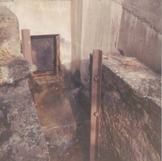
Downstream of the fish bypass valve
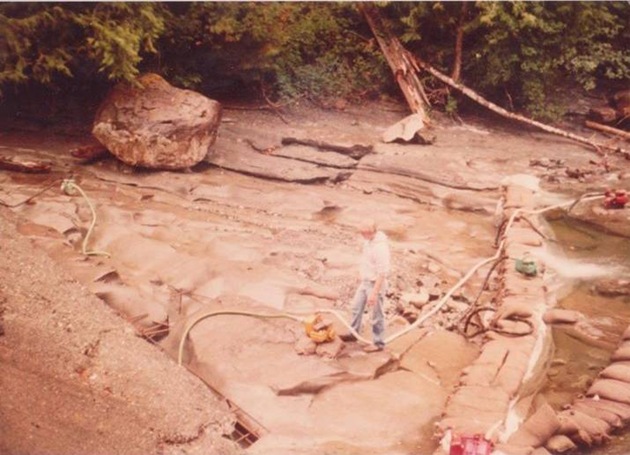
Below the impounding dam

Winter flows on the Browns
Confluence of the Browns and Puntledge
30 Seconds at Air Force Beach
Just because Youtube is annoying me…
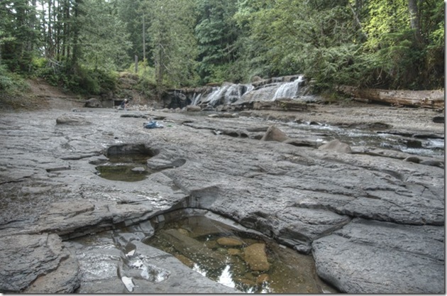
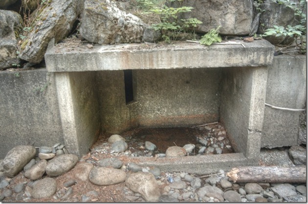
I don’t normally see concrete boxes at the side of waterfalls, but that’s exactly what I saw when I visited Browns River Falls. As far as I can find out, this is part of a fish by pass that was constructed in 2000.
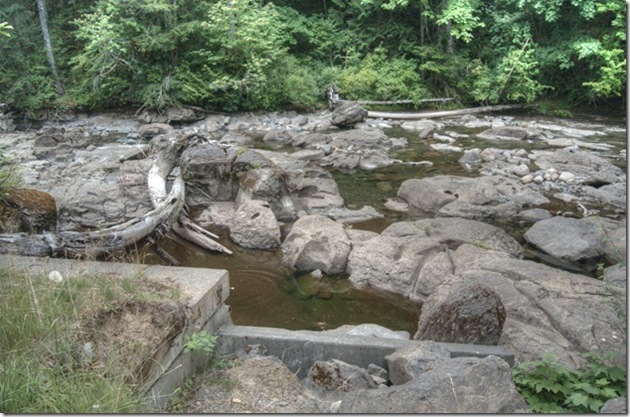
Above, looking downstream on the Browns while standing above the fish bypass.

Having previously visited the north side of Browns River by hiking the BC Hydro trail from Piercy Road, I decided to head down between the Browns and the Puntledge to see the confluence of the two rivers. Not surprisingly, as you get close to the Browns the scenery and the trail look pretty much the same on both routes.

The BC Hydro transmission lines are the clue as to where you are.

The confluence of the Browns and the Puntledge is quite close to Stotan falls and the Puntledge is moving fast as it is fed from Comox Lake.

Above, the Puntledge flowing downstream across from me, and the confluence with the Browns to the left. The hatchery is downstream from here.
Below, looking down the Browns to the Puntledge.

A number of creeks, including Ramparts Creek, Paradise Creek and Wattaway Creek, are tributary to the Browns River. The Browns was named for botanist Dr. Robert Brown, leader of the first exploration party to journey across Vancouver Island in 1864.
And now you know…

I was hiking around trying to find the trails to Browns River Falls when I came across this section of pipeline running roughly between the Browns and Puntledge Rivers. Being an inquisitive type, I did some searching on the Internet and found a reference to a dam being removed from the Browns River in 1989, and a fish way bypassing Browns River Falls being constructed in 2000.
Long time local resident Wes White was a lot more helpful than Google:
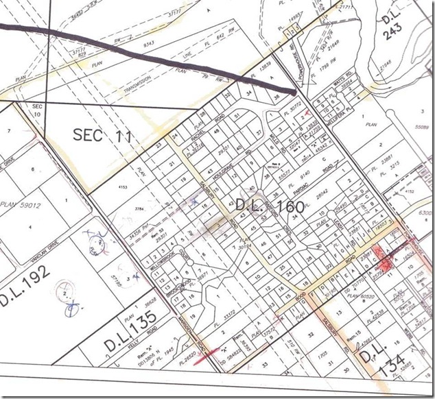
It was the City of Courtenay water supply system, I think it was installed in 1919 (or 1912) can’t remember exactly. The infrastructure was sold to the Regional District around 1967. The last time it was used was 1978 and I had the satisfaction of turning it off for good. The water was mud in winter and hard to find in summer, much the same as the Browns is today. Also had the dam blown up and trucked away.The removal was a requirement of the BC Government. The right-of-way 79RW (and 12″ concrete pipe) comes out at the corner of Powerhouse and Rachel roads.

Above, the starting point above Forbidden Plateau Road, and below, the end point of the water pipe line on Powerhouse Road
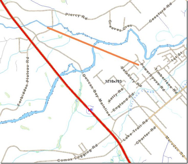
Above, the approximate route of the water pipeline shown in orange.
More research and work on the ground is needed…