E&N – Port Alberni Subdvision – French Creek

E&N,bridges,rail,train trestle,rail way,rail road,Highway 4A,Vancouver Island Imag

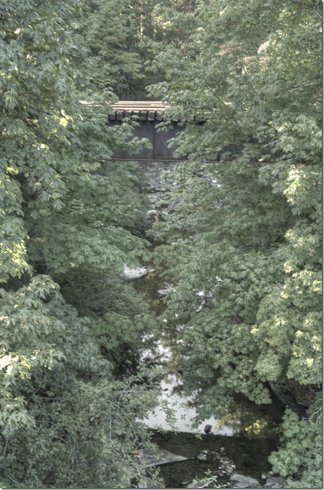
The E&N bridge over French Creek is on the Port Alberni Subdivision, just off Highway 4A in Coombs. The 39.0 Port Alberni Subdivision is a branch line off the mainline Victoria Subdivision in Parksville.
E&N,bridges,rail,train trestle,rail way,rail road,Highway 4A,Vancouver Island Imag

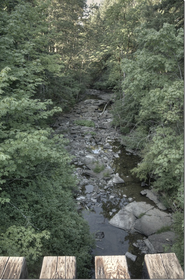
Looking downstream on French Creek

E&N,bridges,rail,train trestle,rail way,rail road,Highway 4A,Vancouver Island Imag

The bridge viewed from the Highway 4A bridge over French Creek

From Parksville, the Port Alberni Subdivision passes through Errington, Coombs, Hilliers, Whiskey Creek and then Little Qualicum Falls
Provincial Park. Next it passes around and above Cameron Lake, MacMillan Provincial Park, over the Alberni Summit, through Summit and
Loon Lakes, and then down a winding ride route into the Alberni Valley.

If you’re interested, there is a pretty good Google map that shows the Port Alberni Subdivision route.

E&N Port Alberni Subdivision route map


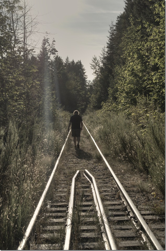
It’s unlikely that we will ever see rail traffic in this area again – and that’s a shame.
nataliecoomsbbridge

Posted in bridges, E&N, history, rail, Vancouver Island, Vancouver Island Images | Tagged , , , , , , , | Leave a comment

Bridges – Coombs Highway 4A

_DSC4307

I don’t think that this view of the bridge in Coombs has changed much since it was built in 1948. The railings along the pedestrian portion are probably quite new, and what used to be called the Alberni Highway is now officially BC Highway 4A.

_DSC4310 

Looking west along Highway 4A


not your normal view,bridges,E&N,Coombs 

Not your normal view of the bridge

To get this shot I had to scramble through some thick blackberry bushes, trudge alongside the E&N Port Alberni Subdivision and tromp across the bridge over what should be a river with lots of water in it. I don’t recommend this…

Posted in bridges, history, not your normal view, Vancouver Island, Vancouver Island Images | Tagged , , , , , | Leave a comment

A bit of Coombs

Coombs,old buildings,murals

A mural in Coombs – just east of the Highway 4A bridge

Posted in Vancouver Island Images | Tagged , , | Leave a comment

The stairs

These stairs were pretty nasty – it’s an understatement to describe them as “rickety” but I’m trying to not use dirty words.

Coombs,photojournalism

The stairs – Coombs

So, there I was, hot, dusty and tired, trying to decide to hold on with both hands, or throw caution to the wind and take a few snaps. I love that word…

Posted in photojournalism, Vancouver Island Images | Tagged , | Leave a comment

Horne Lake

Horne Lake,Vancouver Island

There’s more to Horne Lake than the lake itself – Horne Lake Regional Park has a wonderful campground beside Mount Mark at the west end of the lake, and then there’s great hiking and caving at Horne Lake Caves Provincial Park.

The Horne Lake Community, with 400 bare land strata recreational lots surrounded by 3200 acres of forested common property, forming a lakefront community to preserve an off the grid way of life.

[fbalbum url=”https://www.facebook.com/media/set/?set=a.265943730196012.1073742036.123247217798998&type=3″ size=”187″]

Images are also in a standalone album

Posted in lakes, nature, Vancouver Island, Vancouver Island Images | Tagged , | Leave a comment

Horne Lake dam

The Horne Lake dam is part of a system built by DFO beginning circa 1958 solely for the purpose of salmon enhancement in the Qualicum rivers. The system includes flow regulation, and hatchery and spawning channel improvements. The dam created an absence of winter freshets, resulting in impacts in terms of natural stream flushing processes.

dam,Horne Lake,Qualicum River,Vancouver Island 

The Horne Lake spillway was rebuilt in 2002, utilizing a new rule curve that will increase peak winter flows and freshets, but not above bank-full levels unless a 200-year flood occurs when the spillway is overtopped.

[fbalbum url=”https://www.facebook.com/media/set/?set=a.265860943537624.1073742035.123247217798998&type=3″ size=”187″ slider=1 title=0]

Posted in lakes, Vancouver Island, Vancouver Island Images | Tagged , , , | Leave a comment

Horne Lake suspension bridge

Horne Lake,suspension bridge,Qualicum  River,Provincial Park

The suspension bridge over the Qualicum River provides access to the caves at Horne Lake Caves Provincial Park. The bridge is just upstream of the outlet of the Qualicum River into Horne Lake.

Horne Lake,suspension bridge,Qualicum  River,Provincial Park,Horne Lake Caves

Horne Lake,suspension bridge,Qualicum  River,Provincial Park

Posted in bridges, forest, nature, Provincial Park, river, tourism, Vancouver Island, Vancouver Island Images | Tagged , , , , | Leave a comment

Cape Lazo gulls

Noisy gulls and beautiful views of Georgia Straight from the beach at Cape Lazo

Posted in Beach, Birds, Georgia Strait, nature, Vancouver Island, video | Tagged , , | Leave a comment

E&N – the state of the rail

E&N,Island Corridor,SVI rail,trains,rail road,rail way

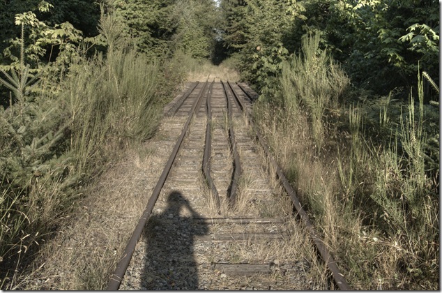
I’ve read the reports regarding the condition of the E&N rail line and bridges, listened to the press releases about the high likelihood that repairs to the bridges will start in the fall of 2014, and I’ve actually checked out what was once a viable operating railway.

E&N,Island Corridor,SVI rail,trains,rail road,rail way

In some sections the line is a fairly good shape and it would appear that brush clearing along the right of way is all that is required. In other sections just about every tie will need to be replaced – what a shame that VIA let the line fall into shambles to the point where it had to be shut down.

I’m hoping that we will again hear the whistles of trains as they pass by…

E&N,Island Corridor,SVI rail,trains,rail road,rail way

Posted in history, rail, trains, Vancouver Island, Vancouver Island Images | Tagged , , , , , | Leave a comment

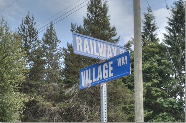
Island signs – Railway Street and Village Way

Island signs,Railway Street,Village Way,Qualicum

You’ll find the intersection of Railway Street and Village Way in Qualicum – running alongside the E&N line and quite near the train station.

Posted in history, Vancouver Island, Vancouver Island Images | Tagged , , , | Leave a comment