

Looking toward Saanich, the Gulf Islands, and Mount Baker from the Malahat scenic lookout
Looking toward Saanich, the Gulf Islands, and Mount Baker from the Malahat scenic lookout
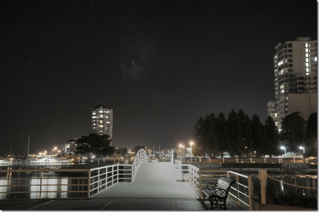
Nanaimo at night – heading along the Harbour Front Walkway through Maffeo Sutton Park to Swy-a-lana Lagoon Park.
Maffeo Sutton Park was named for two men – Pete Maffeo was a Nanaimo mayor and ice cream shop owner who was known for his community service, and Joe Sutton was the caretaker of Deverill Square Park.
Created in 1984, Swy-a-Lana Lagoon is a man made lagoon that connects to the ocean during high tides, and utilizes the ebb and flow of the tide to create a habitat for marine life.
Maffeo Sutton and Swy-a-Lana sit on top of an old industrial site that was once a lumber mill.
And now you know…
[fbalbum url=”https://www.facebook.com/media/set/?set=a.951363281559418.1073741825.951359338226479&type=3″ size=”187″]
images of this area at night are also available in a standalone album…
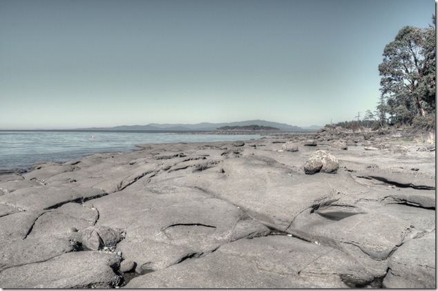
Beautiful in colour
Wall Beach is one of my favourite ocean spots along highway 19A – the views across Georgia Strait from Craig Bay and into Northwest Bay are wonderful.
More images in a Facebook album
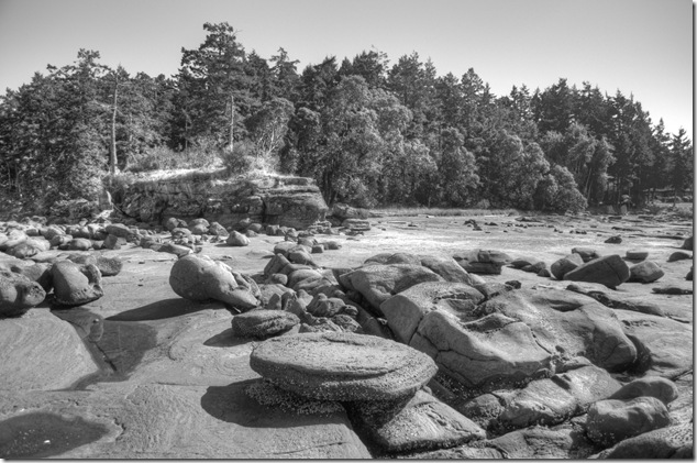
Beautiful in black and white
More images in a Facebook album
The rock formations are amazing at low tide, and it’s a great place for beach combing, diving, and searching for fossils…

Beautiful at low tide
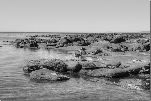
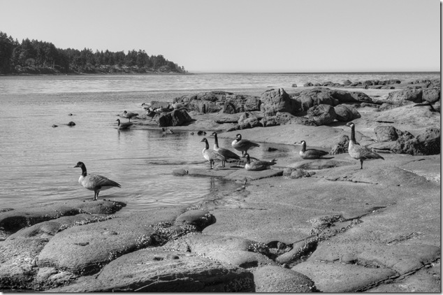
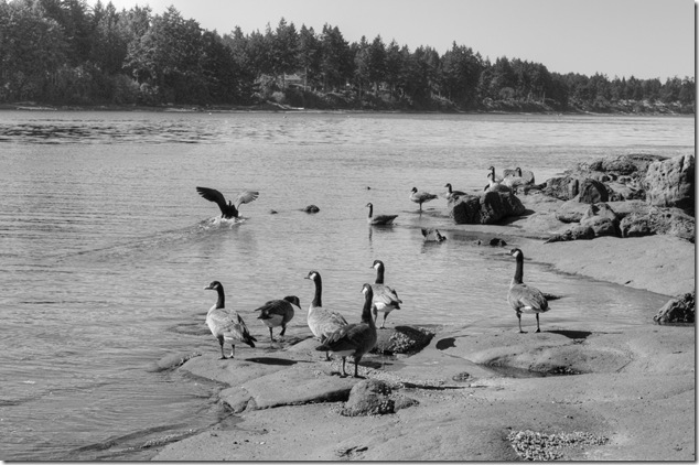
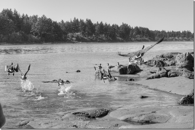
Geese at Wall Beach – a small bay on Northwest Bay, slightly north of Nanoose

BC Hydro Puntledge penstock pipeline access road
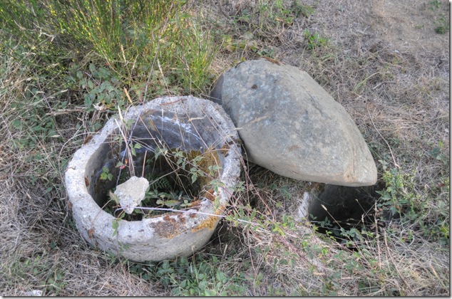
I was walking along the access road for the BC Hydro Puntledge penstock pipeline when I spotted a section of old concrete pipe located quite close to this steel pipeline that runs perpendicular to the road – in other words, directly away from the Puntledge and toward the existing and former penstock pipelines. It’s located about 400 metres downstream from Duncan Bay Main.
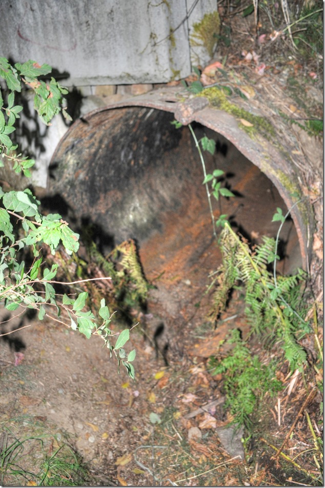
If it had run just under the road I would have thought that perhaps it was a drainage culvert, however, it runs both under the road and toward Courtenay, and the pipe is quite thick. I have no idea, but someone will know – someone always knows…
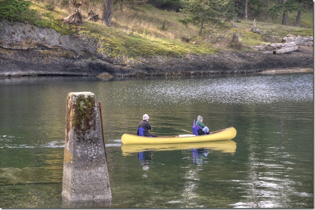
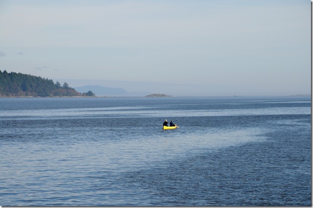
The canoe that seemed so large when you loaded it on top of the jeep can seem so small when you’re paddling about Baynes Sound.
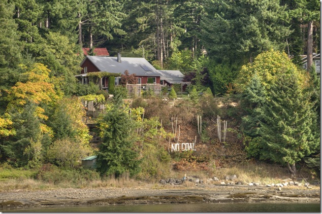
No Coal signs referring to the Compliance Coal proposal to develop the Raven Coal Mine – an underground coal mine project located five kilometres west of the Buckley Bay ferry terminal.
In the early 1940s Canadian Collieries (Dunsmuir) Limited, applied for a license to prospect in the area, and conducted active exploratory drilling. The results were promising and in 1946 the company decided to open a mine approximately 5 miles inland by road from Buckley Bay.
“It is estimated that T’sable River, when in full swing, will be able to produce one million tons per year and sufficient coal has been blocked out to guarantee that production rate for at least 25 years.”
Two other sites had been considered, one at the site of am old mine 3 ¼ miles from Buckley Bay, the other at an outcropping at Cowie Creek, the watershed adjacent to the T’sable River. This is near the site presently being considered by Compliance Coal for the Raven Underground Coal Project.
The mine opened in 1949, and by the mid 1950s the T’sable River mine employed between 200 and 230 men and produced 150,000 – 200,000 tons of coal annually until closed the T’sable River Mine was closed in April of 1960. The newly formed Comox Mining Company Limited hired 100 of the miners and operated the mine for another six years before the coal market dried up. The T’sable River mine produced slightly less than 2 million tons over its lifetime.
I was had a bit of time on my hands while waiting for the ferry to Denman Island, so I walked around the Buckley Bay ferry terminal and shot a few images – including one of this old concrete ramp that is just to the side of the waiting area.

Interesting, especially when I saw a very similar structure at next to the ferry terminal at Gravelly Bay – on the far side of Denman where you can catch the ferry across Lambert Channel to Hornby Island.

As it turns out, the ramps were used for loading ferries.

The first government ferry between Denman Island and Buckley Bay on Vancouver Island was the Department of Highways Ferry Catherine Graham. Essentially a self-propelled landing craft, the ferry sailed up to the loading ramp, dropped a loading ramp that doubled as the bow of the ferry, and cars drove off. Loading was a bit more tricky as cars and trucks had to be backed down the loading ramp and onto the ferry. The Catherine Graham operated from 1954 until it was retired as a ferry in February 1973.
And now you know…

Looking across to Lambert Channel to Hornby Island from Denman Island – a beautiful view from Fillongley Provincial Park