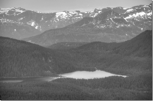
Strathcona – from the top

Strathcona Provincial Park,Mount Albert Edward,Mount  Washington,Vancouver Island Images

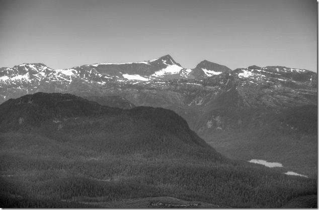
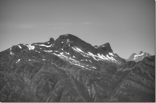
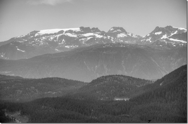
Strathcona Provincial Park viewed from the top of Mount Washington   
Strathcona Provincial Park,Mount Albert Edward,Mount  Washington,Vancouver Island Images

Strathcona Provincial Park,Mount Albert Edward,Mount  Washington,Vancouver Island Images

Strathcona Provincial Park,Mount Albert Edward,Mount  Washington,Vancouver Island Images

Posted in forest, mountains, Mt Washington, Provincial Park, Vancouver Island, Vancouver Island Images | Tagged , , , | Leave a comment

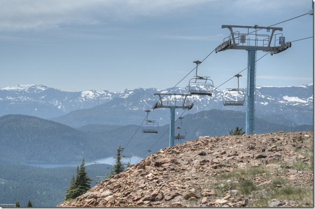
Mount Washington – Eagle Chair

Mount Washington, Eagle Chair,quad chair,Stratcona,Mt Albert Edward,Strathcona Provincial Park,Comox Valley ,Georgia Strait

Mount Washington’s Eagle Chair offers some of the best views of Strathcona Provincial Park, the Comox Valley and Georgia Strait.

The complete image set is in a Facebook album and a standalone image album

Posted in mountains, Mt Washington, Provincial Park, set locations, Strathcona, Vancouver Island, Vancouver Island Images | Tagged , , , , , , , | Leave a comment

Duncan Bay Main

Duncan Bay Main Line,logging road

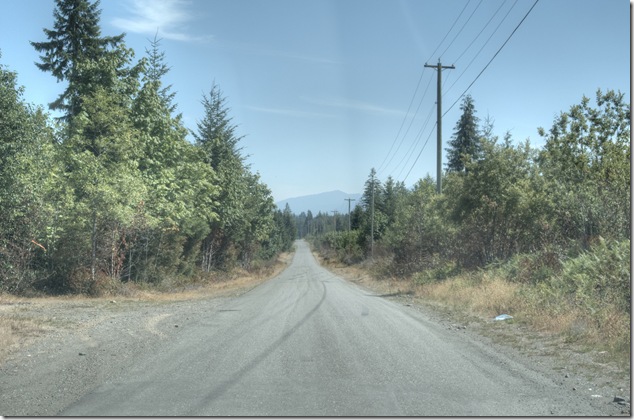
Duncan Bay Main logging road – near Strathcona Parkway
Posted in logging road, Vancouver Island Images | Tagged , | Leave a comment

Strathcona Parkway

Strathcona Provincial Park,Strathcona Provincial Park,Highway 19,Mount Washington

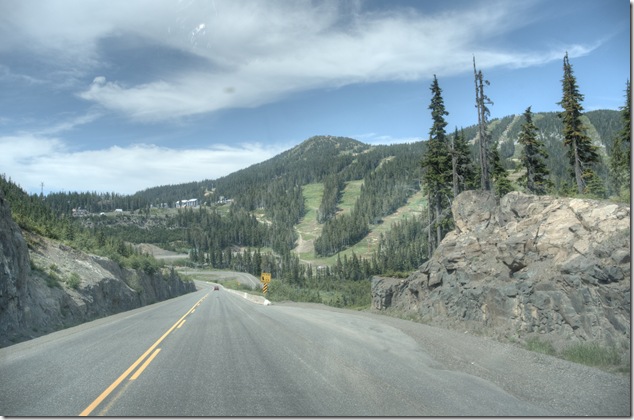
Heading down from Mount Washington and Strathcona Provincial Park toward Highway 19

Strathcona Provincial Park,Strathcona Provincial Park,Highway 19,Mount Washington

Posted in mountains, Mt Washington, Strathcona, Vancouver Island, Vancouver Island Images | Tagged , , | Leave a comment

The trail

hiking,life

Cougars in the area – oh joy…

Sometimes you have to tighten the laces on your boots, shoulder your pack, grab your gear and head down the trail.

Posted in hiking, nature, Vancouver Island, Vancouver Island Images | Tagged , | Leave a comment

The mysterious pipeline – part 3

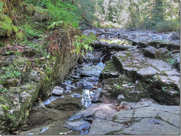
The third part to the mysterious pipeline story involved was hiking upstream along the Browns River looking for remains of the old dam that was used as part of the early Courtenay water supply. I found it, along with the inlet to the old 12” concrete pipeline and the fish bypass system. The dam itself was decommissioned and mostly removed in 1989.
 Browns River Dam,Courtenay water supply,history,rivers,hiking

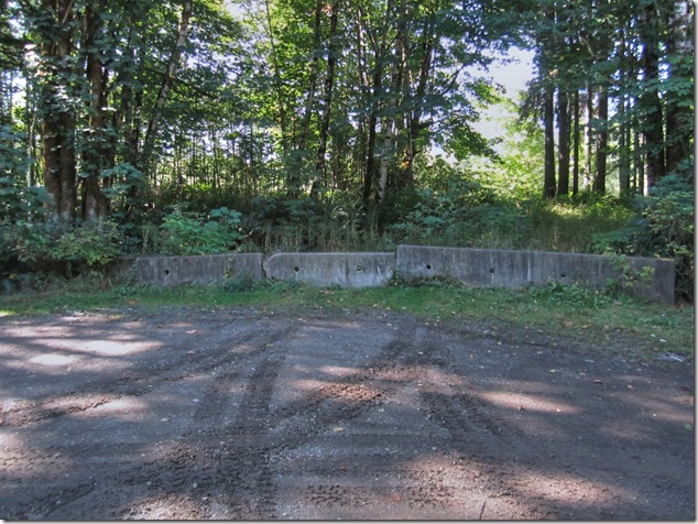
The trailhead is located on the west side of Duncan Bay Main, just to the south of the bridge over the Browns River. The trail is in good shape, but does require a bit of scrambling under or over a few fallen trees.
 Browns River Dam,Courtenay water supply,history,rivers,hiking

[fbalbum url=”https://www.facebook.com/media/set/?set=a.268560766600975.1073742043.123247217798998&type=3″ size=”187″ limit=9 random=1]

the complete image set is in a Facebook album and a standalone album

Posted in abandoned, hiking, history, pipeline, river, Vancouver Island | Tagged , , , , , | Leave a comment

Bridges – Browns River Forbidden Plateau Road

Browns River,Bridges,Vancouver Island Images,Forbidden Plateau Road

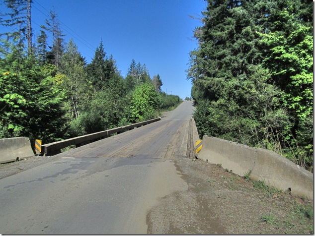
Forbidden Plateau Road bridge over the Browns River – just upstream of Browns River Falls
 

Posted in bridges, river, Vancouver Island, Vancouver Island Images | Tagged , , , , | Leave a comment

Bridges – Browns River Duncan Bay Main

Browns River,Bridges,Vancouver Island Images,Duncan Bay Main ,Highway 19,Inland Island Highway

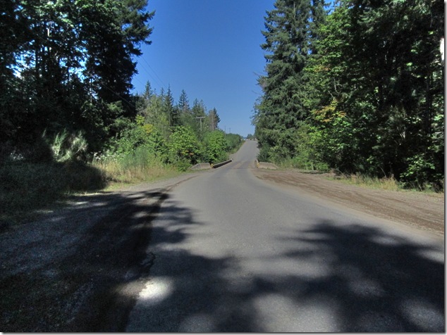
Duncan Bay Main logging road bridge over the Browns River
Browns River,Bridges,Vancouver Island Images,Duncan Bay Main ,Highway 19,Inland Island Highway

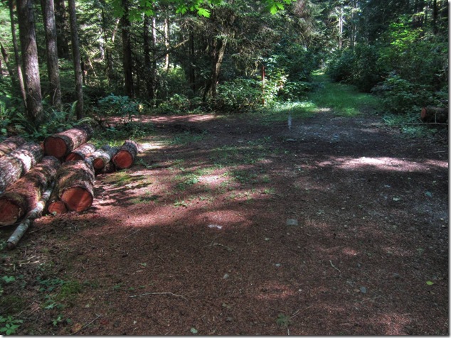
Crossing Duncan Bay main to the of south of the bridge as I head west toward the trail heading upstream on the Browns River to access the site of the old Courtenay water supply dam.
Posted in bridges, logging road, river, Vancouver Island | Tagged , , , , , | Leave a comment

Bridges – Browns River Highway 19

Browns River,Bridges,Vancouver Island Images 

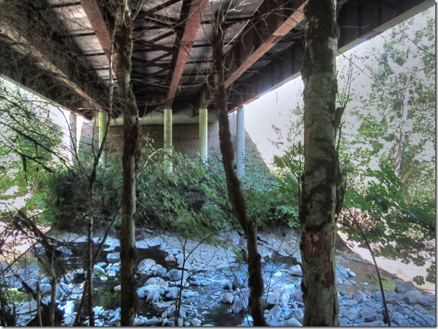
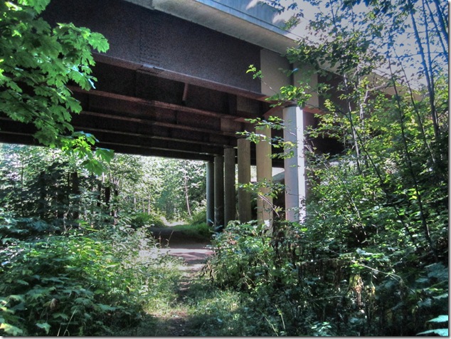
Passing underneath the Highway 19 (Inland Island Highway) while hiking along the Browns River trail from Duncan Bay Main to the site of the old Courtenay water supply dam.
Browns River,Bridges,Vancouver Island Images

Browns River,Bridges,Vancouver Island Images,Duncan Bay Main

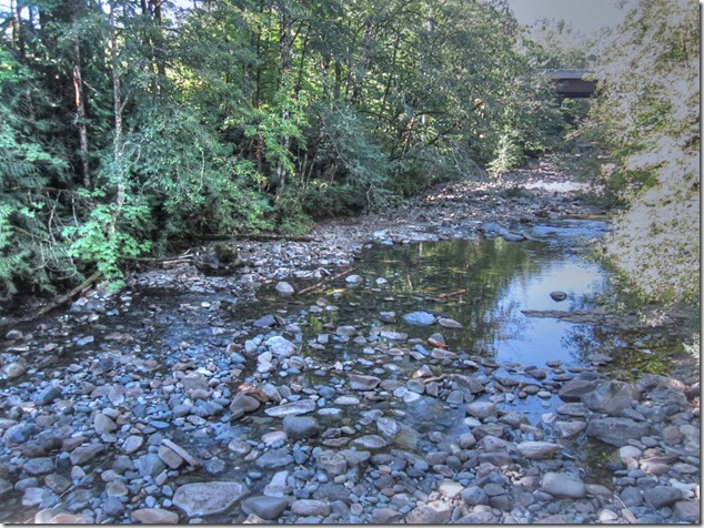
Looking downstream on the Browns River toward Highway 19
Posted in bridges, hiking, river, Vancouver Island, Vancouver Island Images | Tagged , , , , , | Leave a comment

The mysterious pipeline – part 2

Browns River, Courtenay, Courtenay water supply, history, pipeline,abandoned

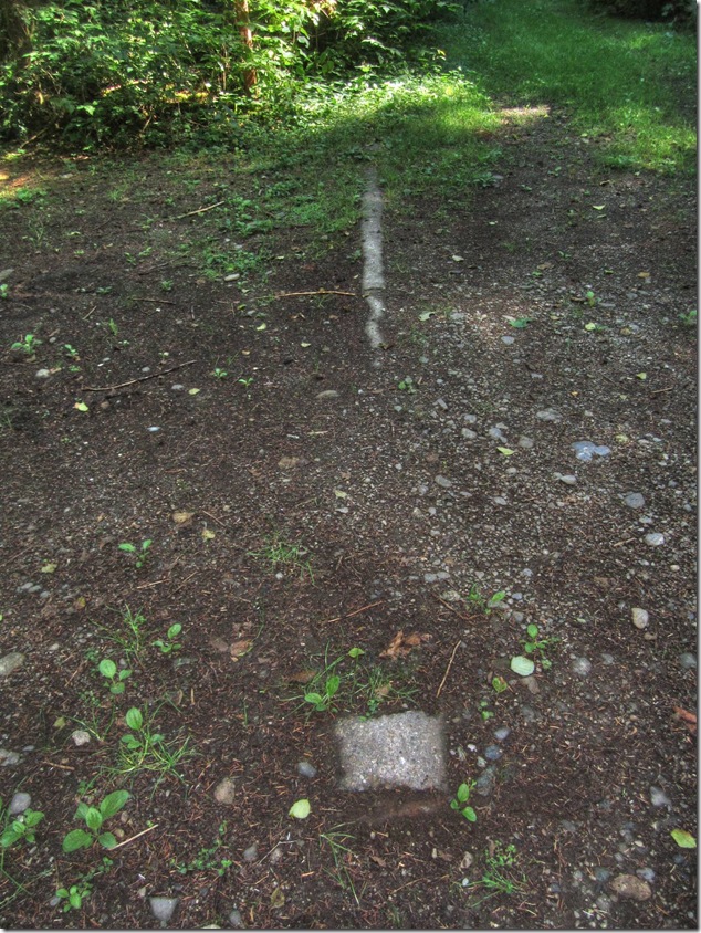
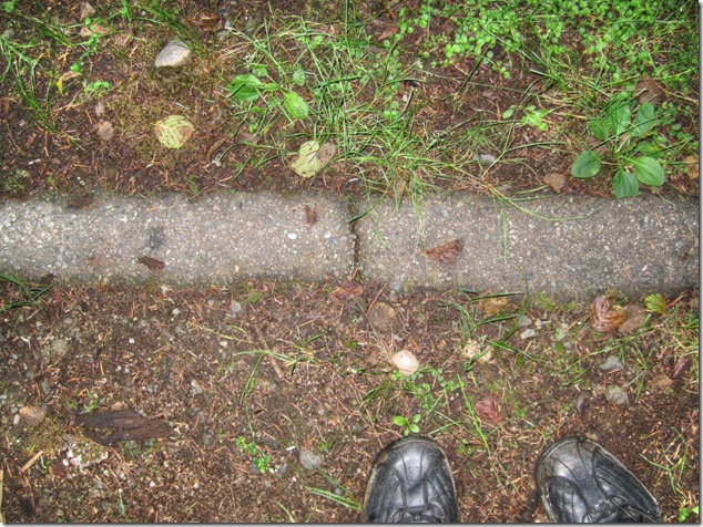
The second part to the mysterious pipeline story happened by accident when was hiking along the Browns River looking for remains of the old dam that was used as part of the early Courtenay water supply. To be accurate, at this point it was hiking ‘around’ the Browns as in some parts you can’t hike along the river as the banks are too steep. To be really accurate, I headed inland a touch and was hiking along on the access roads into Scouts Canada Camp Gilwell.
Browns River, Courtenay, Courtenay water supply, history, pipeline,abandoned

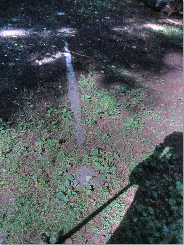
That’s when I saw an exposed section of the old water supply pipeline, along the road, to the south of the Browns.
Browns River, Courtenay, Courtenay water supply, history, pipeline,abandoned

Browns River, Courtenay, Courtenay water supply, history, pipeline,abandoned

This section of the pipeline is on property leased by Scouts Canada, so it would be polite to ask before you go trekking around to see it. If you want to, the latitude and longitude is N49°41.259’ W125°04.317’, and I’ve included a nice Google map to help you find it or just see where it is with respect to the Browns and Puntledge and Courtenay.

Posted in abandoned, history, pipeline, Puntledge, river, Vancouver Island | Tagged , , , , , , | Leave a comment