Rosewell Creek logging road

_DSC3321

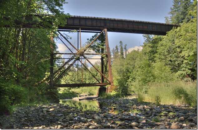
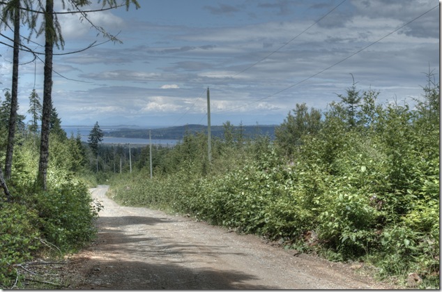
I took a drive up the Rosewell Creek logging road to get some distant shots of Baynes Sound and Denman Island – it’s pretty, but also an active logging area so drive smart…

I also shot a little time lapse video of part of the drive back down, to show how narrow the road gets.

more images are in an album

  • Logging trucks take up a lot of room and forest roads are built for their use. Don’t stop on the road surface to sight-see or hunt. If you do stop, park well off the road.
  • Logging trucks use all or most of the road width because of their size. This can pose a challenge for oncoming traffic since forest roads are often single lane or a lane-and-a-half wide, and bridges are almost always single-lane. Please give logging trucks and other industrial traffic the right-of-way.
  • Loaded logging trucks definitely have the right-of-weight! When you see a logging truck or any other heavy equipment coming, get to a turnout and let the oncoming vehicle pass by.
  • Where possible, follow logging company or B.C. Forest Service vehicles. When they move into turnouts, follow them. Do not match the speed of empty logging trucks – these drivers know the road and will move much faster than you safely can, so do not try to keep up with them.
  • In all situations, drive with extreme caution.
Posted in Georgia Strait, Gulf Islands, logging road, time lapse, Vancouver Island, video | Tagged , , , , , | Leave a comment

Time lapse – Highway 19 – northbound

time lapse,clouds,traffic,Highway 19

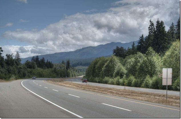
Time lapse video of traffic and clouds – looking north on Highway 19 near Fanny Bay.

Posted in time lapse, Vancouver Island, video | Tagged , , , | Leave a comment

Time lapse – Highway 19 – southbound

 time lapse,clouds,traffic,Highway 19

Time lapse video of traffic and clouds – looking south on Highway 19 near Fanny Bay.

Posted in time lapse, Vancouver Island, video | Tagged , , , | Leave a comment

Berries, bells, and bears

bears,hiking,bear bells,Fanny Bay,logging roads

Berries – a sign that summer is here in full force. Also a sign that hungry bears will be in the area, having a tasty snack of berries.

bears,hiking,bear bells,Fanny Bay,logging roads

Another sign that bears are in the area, having a yummy snack of berries. I carry a bear bell to help avoid becoming another yummy snack for a hungry bear.

Posted in hiking, logging road, nature, plants, Vancouver Island | Tagged , , , , | Leave a comment

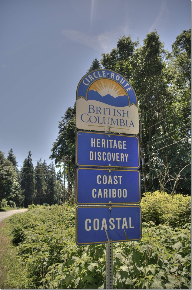
Island signs – Circle Route

Circle Route,Heritage Discovery,Coast Cariboo,Coastal,Island signs

British Columbia Circle Route: Heritage Discovery, Coast Cariboo and Coastal routes.

Posted in Royston, signs, tourism, Vancouver Island | Tagged , , , , | Leave a comment

Highway happiness

I’m not sure if this is artistry, a natural phenomena, or a sign from the gods…

_DSC3414

Highway 19A, near the Trent River bridge and the Grassi Point farm

Posted in art, Royston | Tagged , , , | Leave a comment

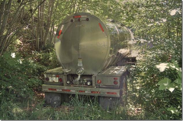
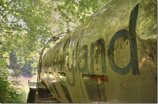
Dairyland milk tanker

milk truck,dairlyland,Royston,Highway 19A,Comox Valley,History,abandonded,milk tanker

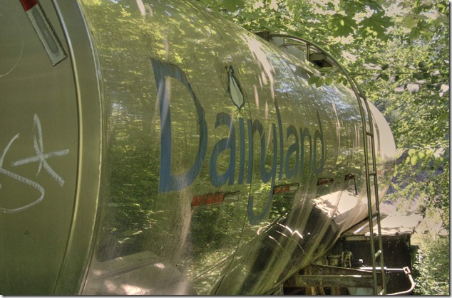
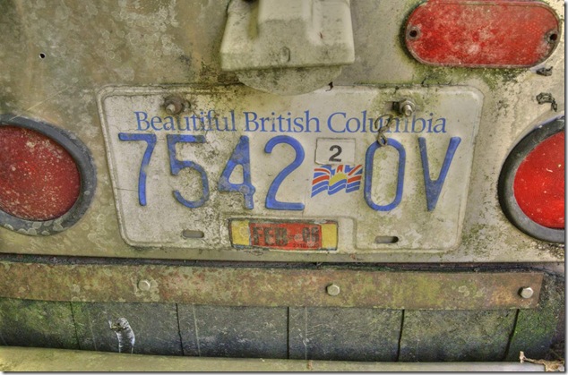
You never know what you might find while hiking about on Vancouver Island, but a Dairyland milk tanker was not on my list of things I thought I might see. Bears, yes, cougars, yes, but a milk tanker?

milk truck,dairlyland,Royston,Highway 19A,Comox Valley,History,abandonded,milk tanker milk truck,dairlyland,Royston,Highway 19A,Comox Valley,History,abandonded,milk tanker milk truck,dairlyland,Royston,Highway 19A,Comox Valley,History,abandonded,milk tanker

Posted in abandoned, hiking, history, Royston, Vancouver Island | Tagged , , , , , , , | Leave a comment

E&N Victoria Subdivision – Mile 125.50 Tsable River bridge

tsblervrtrrtltop-07

The E&N (Esquimalt and Nanaimo) railway trestle over the Tsable River, at mile 125.50 of the Victoria Subdivision.

Watch for trains…

more images in a standalone album

Posted in bridges, E&N, rail | Tagged , , , , , , , , , , | Leave a comment

E&N Victoria Subdivision – Mile 135.10 Trent River bridge (above)

bridge, Courtenay, E&N, Grassi Point, Highway 19A, Old Island Highway, river, Royston, train, Trent River, trestle

The E&N (Esquimalt and Nanaimo) railway trestle over the Trent River, at mile 135.10 of the Victoria Subdivision.

Watch for trains…

more images in a standalone image album

Posted in bridges, E&N, rail, Vancouver Island | Tagged , , , , , , , , , | Leave a comment

E&N Victoria Subdivision – Mile 135.10 Trent River bridge

bridge,Trent River,Highway 19A,river,Old Island Highway,Royston,Courtenay,Grassi Point,train,E&N,trestle

The E&N (Esquimalt and Nanaimo) railway trestle over the Trent River, at mile 135.10 of the Victoria Subdivision.

The trestle is 80 feet high and 289 feet long, with five spans;  2 x 73’-1, 2 x 43’, and 48’-0.

more images in a standalone album

Posted in bridges, E&N, rail, river, trains | Tagged , , , , , , , , , , | Leave a comment